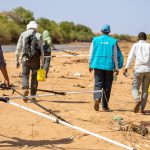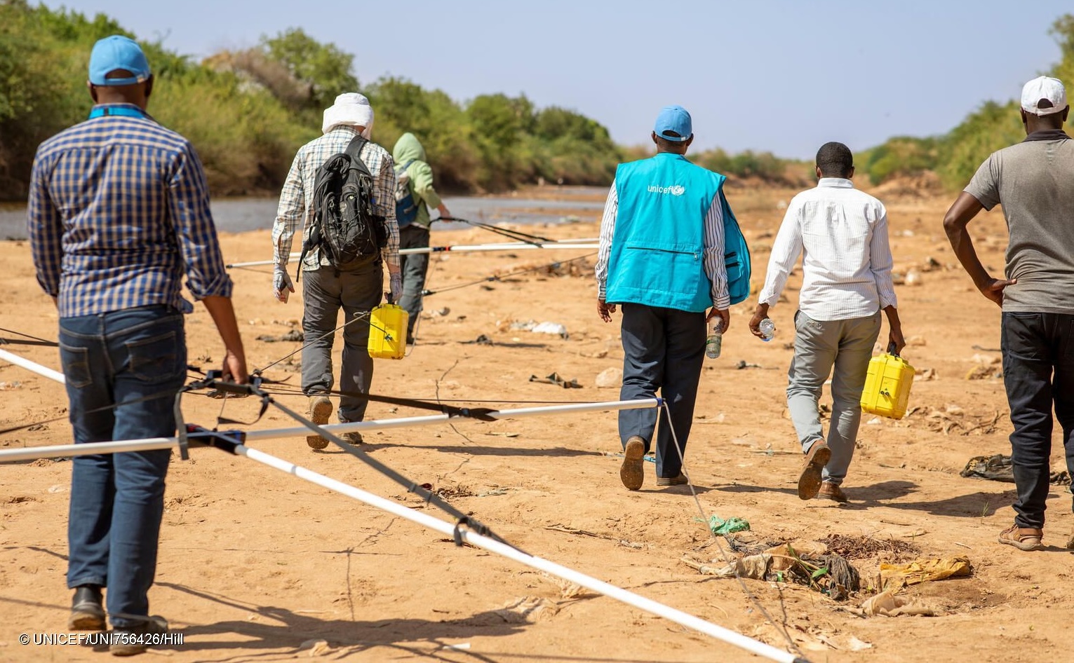
To support MAR designs planned for Dollow, Somalia, a transient electromagnetic (TEM) geophysical survey was conducted by Aarhus University in March 2025. The survey aimed to provide key insights into the structure of hydrogeological units within the floodplain adjacent to the Dawa and Jubba rivers near Dollow. Specifically, it focused on mapping the thickness and spatial distribution of alluvial sediments overlying the basement and identifying areas with potential groundwater connections to the current river channels.

To achieve this, a rapid mapping TEM modality, the sTEMprofiler, was deployed by the Hydrogeophysics Group at Aarhus University. The survey spanned eight days and collected over 720 individual depth profiles. The resulting datasets reveal the extent and thickness of alluvial deposits across the floodplain, covering more than 15 km along the riverbanks to depths of approximately 80–100 meters. These findings will support the development of hydrological models with accurate representations of local hydrogeology, enabling the simulation of MAR designs optimized for performance in Dollow.